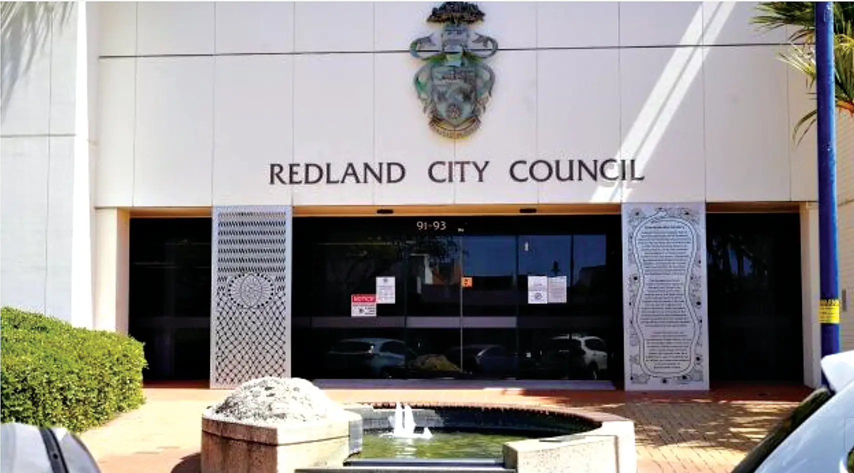
Redland City Council is set to adopt a 20-year transport blueprint for Cleveland that would gradually shift the city centre away from car-dominated streets and towards a more pedestrian-friendly, transit-focused future as population growth places increasing pressure on the network.
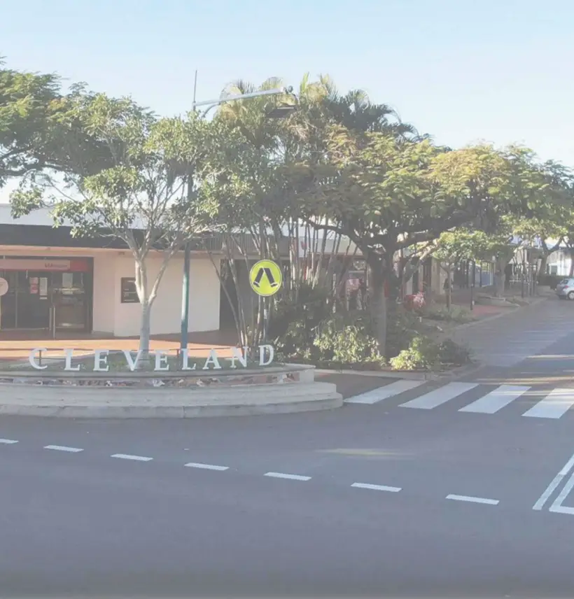
The proposed Cleveland Centre Local Area Transport Plan (LATP), to be considered at next week’s general meeting, outlines a vision for transforming Cleveland into a more connected, accessible and walkable centre by 2046 while accommodating an expected 50 per cent increase in trips to and through the precinct.
Council officers say the plan is needed to support Cleveland’s role as one of South East Queensland’s designated Principal Regional Activity Centres and respond to significant demographic changes expected over the next two decades, including a growing and ageing population, more housing and increased employment opportunities.
Under the strategy, walking, cycling and public transport would play a greater role in how people move around the centre, while private vehicles would continue to be accommodated but become less dominant in the streetscape.

The report notes that 86 per cent of trips to the centre are currently made by private vehicle and more than 90 per cent of journeys to work rely on cars.
However, it also highlights that around half of all trips are less than five kilometres and could potentially be undertaken by alternative modes.
Population in Cleveland is projected to grow from about 16,000 residents in 2021 to almost 23,000 by 2046, while the number of dwellings is expected to increase from around 7,000 to 11,000.
Employment opportunities are forecast to rise from 3,000 to 4,500 jobs over the same period.
The plan identifies several key priorities, including creating safer walking and cycling connections, improving access between Cleveland Station, Raby Bay Harbourside and the town centre, advocating for better public transport services and managing parking to support revitalisation rather than encouraging greater car dependence.
One of the long-term goals is to progressively shift north-south through traffic away from the CBD core towards the Wellington Street and Panorama Drive corridor, allowing streets such as Middle Street and Bloomfield Street to evolve into more people-focused spaces.
The strategy also envisages Middle Street becoming a shaded boulevard linking the civic and cultural precinct with the waterfront and Toondah Harbour area, while safer crossings would improve connections across busy roads such as Shore Street West.
Parking remains a significant focus of the document following recent changes to regulated parking and the closure of some council-owned car parks.
Rather than expanding public parking supply, the plan proposes making better use of private off-street parking, encouraging long-stay parking outside the core retail area and integrating alternative access options such as rideshare services, community transport and end-of-trip facilities for cyclists.
The report notes that providing additional parking can be expensive and may undermine broader efforts to create a more vibrant and walkable centre.
Council is also calling for improved public transport services, with the report describing current bus services as infrequent and poorly integrated despite Cleveland being the city’s primary public transport hub.
Public transport currently accounts for just 3.5 per cent of trips to the centre.
The plan does not commit council to delivering every project identified and acknowledges many initiatives will depend on future funding decisions by council, the State Government and developers.
Implementation costs range from low-cost measures such as signage improvements through to major infrastructure projects that could exceed $100 million, including future stages of the Wellington Street and Panorama Drive upgrade.
Councillors are being asked to formally adopt the Cleveland Centre Local Area Transport Plan at the June 17 general meeting.