A DRAFT 20-year transport plan could reshape how people move around Cleveland, with a strong focus on walking, cycling, and public transport.
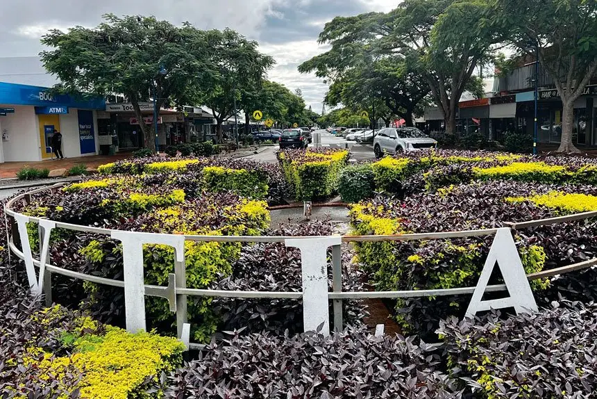
The Draft Cleveland Centre Local Area Transport Plan 2025-2046 outlines a blueprint for revitalising Cleveland’s streets and public spaces while managing growth, supporting local business and improving safety.
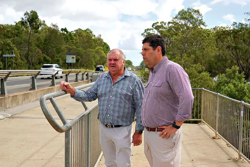
Mayor Jos Mitchell said the plan, if adopted by Councillors yesterday, was an opportunity for locals to help shape the future of their city.
The plan proposes a range of actions to support the transition from a car-dominated centre to one with safer, more inviting streets for walking, cycling and public transport use.

These include upgraded intersections, new pedestrian laneways and mid-block crossings, better facilities for bikes and personal mobility devices, and upgraded bus and community transport access.
The LATP also proposes a long-term change in traffic movement through Cleveland, with Wellington St and Panorama Drive earmarked as the main north-south vehicle corridor to help reduce traffic along Waterloo St.
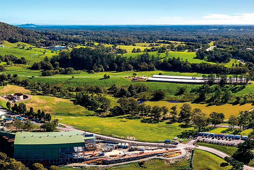
The plan builds on previous work done under the Cleveland Centre Master Plan 2010 and responds to current and future pressures from population growth, development and shifting travel behaviour.
Without action, Council warns Cleveland could lose some of its most valued traits, such as its walkable streets and relaxed atmosphere, as traffic and parking demand rises.
The centre already faces challenges from growing traffic volumes and low public transport uptake, despite relatively strong infrastructure.
Roundabouts and pedestrian crossings have also been identified as needing upgrades to improve safety and accessibility.
The plan supports continued off-street parking as sites are developed, but discourages large increases in public parking, which Council says could undermine revitalisation efforts.
Instead, it calls for better utilisation of existing private parking and ongoing parking management strategies.